
Trace a North Hempstead Street
A useful street search begins with a single verified address, not a guessed run of house numbers. Nassau's records use the physical parcel, its Section-Block-Lot number, and the recorded legal description in different places. Capture the exact address, identify the parcel and Town or village in LRV, then use the map and County Clerk index to test the connection. A result may point to an owner, a recorded party, a permit participant, or a historical listing. Those roles are not interchangeable.
- Enter one complete address in the Nassau Land Records Viewer and save the returned parcel address, Town or village label, and SBL.
- Open the linked map or Nassau GIS view, turn on parcel and road layers, and click adjacent polygons rather than assuming the next street number is the next lot.
- Use the SBL, deed reference, current owner name where available, or legal description in the County Clerk's Official Records Search.
- Follow a recorded transfer backward by searching the prior grantor as an earlier grantee, checking the legal description at each step.
- For an older address, compare a dated reverse directory, map, permit file, newspaper, or census source before treating a listing as a household connection.
Note: The assessment roll and a recorded deed describe property relationships, not a complete list of people at an address.
North Hempstead Street Inputs
North Hempstead street directory work often fails because a portal expects a different address form than a mailing label. LRV accepts house number, street, Town, ZIP, and optional SBL fields. Its guidance says not to enter directional words or suffixes in the street-name field. Preserve the full original address in your notes anyway. The postal city may differ from the village or Town record, and a lot group or condominium unit may not be one simple tax parcel.
The Nassau AROW parcel search is a second address route with house number, required street, city or postal name, required ZIP, and optional Section, Block, and Lot controls.
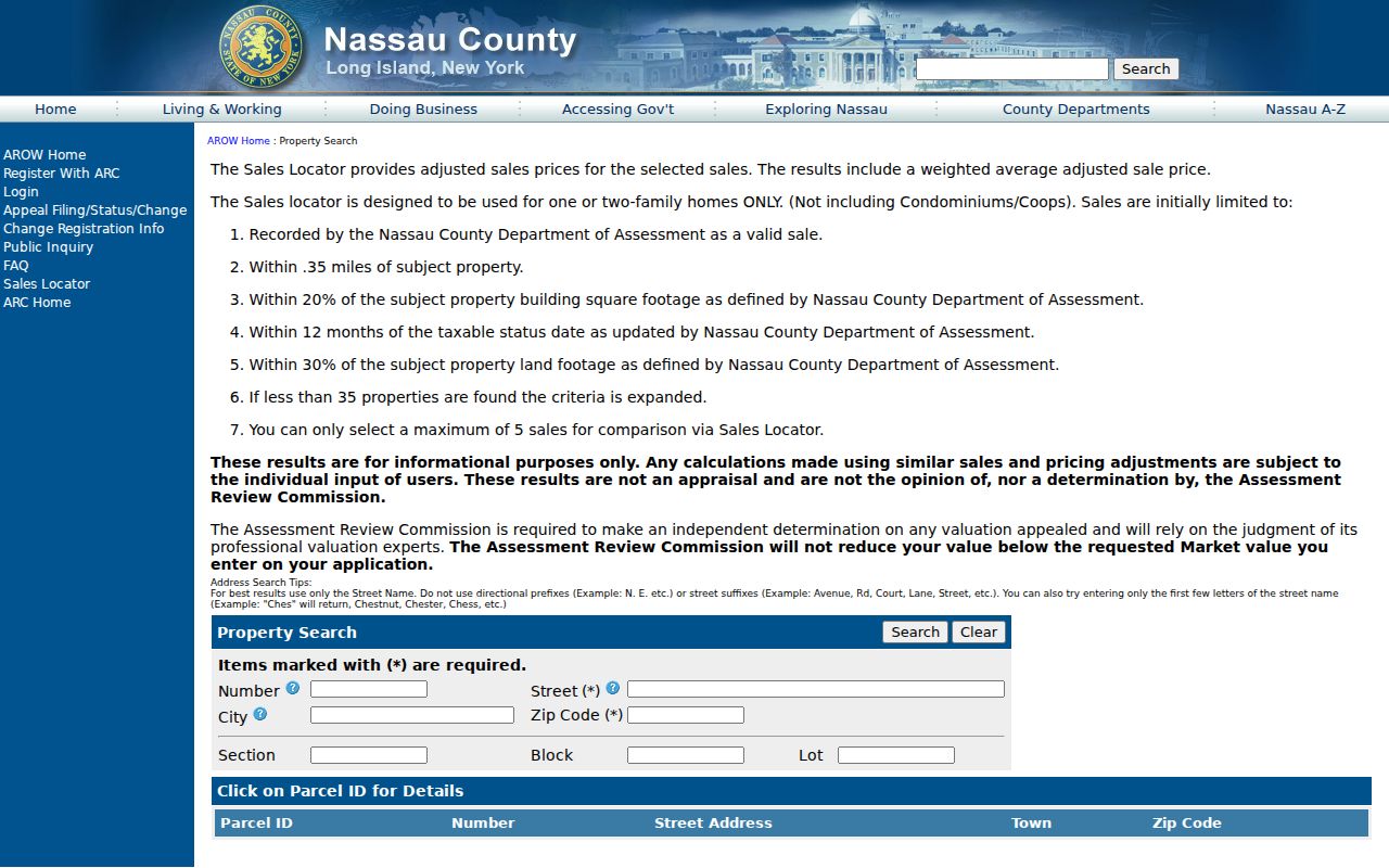
AROW accepts a street-name-only search and partial prefixes, then offers a Parcel ID details route. Its sales locator is a comparable-sales tool with a small-radius method, not an appraisal and not a source for deciding who occupies a parcel.
- Parcel
- A taxable property unit identified by assessment and GIS systems.
- Situs address
- The physical location of the parcel, distinct from any mailing address on a record.
- Plat
- A recorded map or plan that helps connect lots, subdivisions, and legal descriptions.
- Criss-cross directory
- A reverse address directory, when a particular historical volume includes one.
North Hempstead LRV Parcel Card
LRV is the principal address-keyed property source for the North Hempstead street directory. The viewer includes assessment-roll data, district information, tax maps, photos, past taxes, tax rates, exemptions, sales, and GIS links. A parcel card can show the parcel address, village, school district, Town, SBL, class, values, taxes, exemptions, recent sales, and a deed or liber-page reference. Its visible fields are useful for comparing records, but a result should not be stretched into a claim about every current resident.
| LRV field | Search role | Format or result note |
|---|---|---|
| Section, Block, Lot | Find the SBL parcel key | Optional text fields in Nassau format. |
| House Number | Begin an address search | Use with street and locality details. |
| Name of Street | Find a road in the roll | Omit directional words and suffixes. |
| Town | Narrow to North Hempstead | Village and Town labels can differ. |
| ZIP | Refine an address result | It is not a ZIP-wide export tool. |
Owner mailing and situs addresses can differ. The online card may not expose every mailing field, so request a property record card through the assessment office when the documented card, not an assumption, is needed. Values update with tentative and final roll cycles; sales, photos, exemptions, and taxes have their own update schedules.
North Hempstead GIS Street View
The map step makes a street directory search spatial. Start with the target parcel, then turn on Nassau parcel and lot layers and road labels. Pan along the segment and click each polygon to collect PARID, PARCEL_ADDRESS, and ROLL_YEAR rather than guessing from address sequence. The LRV map includes aerial imagery, World Topo, FEMA Flood Zone, Nassau County 1926 and 1950 layers, New York State historic layers, and area, distance, and location tools.
The Nassau LRV parcel map shows the available parcel, aerial, historic-map, and measurement controls.
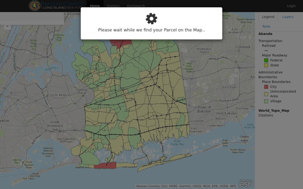
The GIS geometry supplies neighboring lots, not the identity of people. A polygon can be a road, common area, condominium unit, separate tax lot, or lot group. Compare each mapped feature with LRV and the Clerk records before assigning it to a street history.
North Hempstead Records by Address
Address-keyed records stack together only after the parcel is established. LRV and AROW supply assessment and parcel detail. GIS supplies shape and map context. The County Clerk's index provides dated instruments. Town or village building offices can hold permit and inspection records. Historical directories add past address clues. The voter form works only after a person's name, date of birth, ZIP, and county are known, so it cannot serve as an open street-browse tool.
| Address record | Primary key | What it can show | Access route |
|---|---|---|---|
| Assessment roll and LRV | Address or SBL | Parcel, class, value, tax, exemptions, photo, and deed reference | Free viewer; cards and verification use the fee schedule. |
| AROW and GIS | Street, ZIP, parcel ID, or map feature | Parcel details, polygons, roads, layers, and adjacent lots | Public web tools. |
| County Clerk index | Name, document, SBL, reference, or date | Grantor, grantee, recording date, and legal description | Free index; images and certification follow Clerk rules. |
| Building property file | Exact address or SBL | Applications, permits, certificates, inspections, notices, and orders | Town FOIL route or relevant village department. |
| Historical directory | Dated street or name | Past name, address, telephone, or business clues where a volume includes them | Digital, microfilm, or reference access. |
Town 311's report records address-related service categories in aggregate. It can flag the existence of an operational record trail, but it is not an address-by-address list of people or individual service requests.
North Hempstead Deed Chain
The County Clerk index supplies the dated ownership path behind a North Hempstead street directory result. Begin with the current parcel's SBL and any deed reference, then search the Deeds and Mortgages registry by grantee, name, Section-Block-Lot, reference, or recorded date. Read the instrument's grantor, grantee, recording date, book or document number, and legal description. Search the earlier grantor as a grantee to move backward. Check the SBL, lot grouping, subdivision map, and legal description at every turn.
The Nassau County land-records page leads to the official index, historic sources, and Property Fraud Alert route.
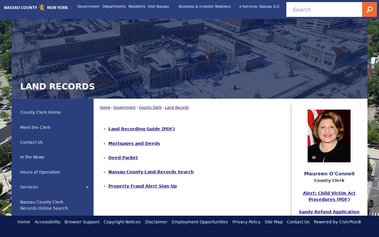
Downloaded images are listed at $0.65 per page and printed results at $1.50 per page, while certified copies are available through the Clerk. Images begin February 22, 1994; earlier documents are added periodically. For gaps, use the historic repository's direct, reverse, and 1840-1934 index books, the Mineola counter, mail or delivery request, lobby drop box, or record-retrieval process.
Note: A grantee or grantor establishes a recorded transaction, not a promise of current occupancy at the street address.
North Hempstead Permit Files
Town building records can add dated work history to a street directory search. The Town Code building-record provision says the Building Commissioner keeps permanent official records of applications, permits and certificates, fees, inspection reports, notices, and orders. Town Buildings handles construction, alteration, removal, demolition, inspections, and violations in unincorporated areas. An incorporated village can maintain its own building department, which is why the address's jurisdiction must be confirmed before sending a request.
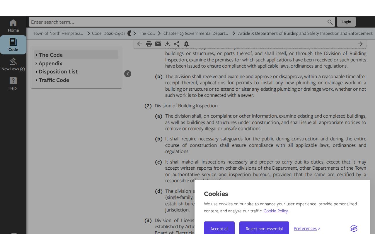
Ask for a property file through the Town's online FOIL process using the exact address or SBL, date span, permit type, and requested document. A permit holder, applicant, contractor, or owner is a recorded participant and may not be the person living at the property.
The Town permits and licenses service is a starting route for municipal services and related applications.
The Town's 2025 service report counted 22,096 Property Violations Search requests through January 2025, alongside code-enforcement and public-safety totals. That is evidence of address-keyed activity, not a count of properties, people, or household members.
North Hempstead Voter Limits
The New York voter form cannot list everyone on a North Hempstead street. It asks for Nassau County, last name, first name, date of birth, and ZIP, then provides a limited registration or poll-site match. A public result should be used only for ordinary registration and poll-site checking. It does not provide a street-wide browse, and a no-match does not prove that a person has left the address.
A fuller voter file has residence, mailing, street, district, and history fields, but New York Election Law §3-103(5) requires an elections purpose for a requested voter list. Confidential registration under Election Law §5-508 is intentionally withheld. Use an address record first, then a lawful person-specific voter match only when the form's requirements are met.
North Hempstead Address History
For a past household, date the address before naming a person. The Port Washington Public Library has Long Island directories from 1924 through 1937, Nassau directories from 1925 through 1947, and Port Washington directories from 1931 through 1958. Some volumes include residential, business, or reverse material, but not every year has the same arrangement. Read the title, year, and geography before relying on an entry. Old directories can omit unlisted numbers and never prove current residence.
The library's historical maps, Port News archive, school records, yearbooks, oral histories, and local family papers give further dated context. The North Hempstead Directory Book concentrates on those collections and their year runs. For street work, pair a directory clue with SBL, deed description, historic map, or cross street. No official source in the research established a Town-wide street-renumbering or renaming year, so a modern street number should not be assumed timeless.
North Hempstead Postal Labels
A North Hempstead street directory should preserve four details: situs address, legal SBL, postal city and ZIP, and administrative Town or village. They do not always match. The Town's operational ZIP table groups 11030 with Manhasset and Plandome, 11590 with Westbury and New Cassel, and 11596 with Williston Park and East Williston. Those labels can all appear in valid records without describing the same local jurisdiction.
USPS is the authority for a deliverable address, while LRV and GIS identify parcel and government geography. Use USPS address standardization after an official property search, not as proof that a person is at the address. The LRV sample card for Plandome demonstrates how Village of Plandome, Manhasset school district, Town North Hempstead, and a ZIP can coexist on one parcel record.
Note: No official local ZIP realignment or street-renumbering schedule was confirmed in the research used here.
North Hempstead Street Privacy
A street directory cannot reveal every household member, unlisted telephone customer, utility account, delivery record, DMV address, confidential voter, or Address Confidentiality Program participant. Sealed court and restricted vital records stay protected as well. A mailing address may differ from the physical parcel, and even a visible owner field should be kept in its dated record context rather than presented as a current household location.
New York's public-record rules allow access to defined records, but they do not authorize harassment. If a record appears wrong, ask the source office about its correction process. Use the County Clerk for recorded instruments, Nassau Assessment for property-record issues, the Board of Elections for voter questions, and Town or village staff for local building files.